Ice Age Floods
Early settlers to Eastern Washington noticed that some of the topography appeared different than surrounding areas. Barren flat plateaus with steep canyon sides contrasted with the lush landscape of nearby Northwest terrains. Geologists came up with many theories to explain the severely eroded land, each adding to what became one of the greatest debates in modern earth science.
In 1925 geologist J Harlen Bretz proposed that the strange landforms, which he called channeled scablands, were caused by a series of massive floods from a distant past. Fellow scientists met his conclusions with great opposition. Years earlier another geologist Joseph T. Pardee described a huge sheet of ice that moved from Canada into the Idaho panhandle about 13,000 to 18,000 years ago. The glacier blocked the drainage of the Clark Fork River and created prehistoric Glacial Lake Missoula, in present day Montana.
With the advent of aerial photography, geologists were able to see patterns in the land and rock that were previously hidden. This new view helped them to connect the two theories into one. They determined that the thick ice walls of Lake Missoula ruptured and unleashed huge torrents of water onto Eastern Washington and Oregon’s Willamette Valley, causing the topographic variances we see today.
The massive amounts of water, as much as 13 times the volume of the Amazon River and moving 50-75mph, traveled west carving out at path of more than 50 cubic miles. At its peak, the water flow rate was 10 times the combined flow of all the rivers in the world. Large boulders were tossed like pebbles along the riverbed. Imagine the force needed to move a boulder that big. Also called glacial erratics, these giant stones were carried downstream by the swift current or perched atop miniature icebergs before eventually resettling into their new home.
Geologists now believe that a cycle of Lake Missoula ice wall ruptures and cataclysmic flooding occurred about 25 times during the last Ice Age. As the water in Lake Missoula got deeper, the pressure on its ice walls increased and small cracks formed in the ice. Eventually the walls weakened and collapsed, sending torrents of water on raging path westward. These events are known as the Missoula Floods. They are considered some of the largest and most powerful floods that have ever occurred on Earth.
As you look around, take notice of the soil, the rocks and the plant life. Our landscape gives us many clues about its history. If we look hard enough we can see how powerful forces have shaped our world in many ways. For more information about Glacier Landforms, please visit National Snow and Ice Data Center.


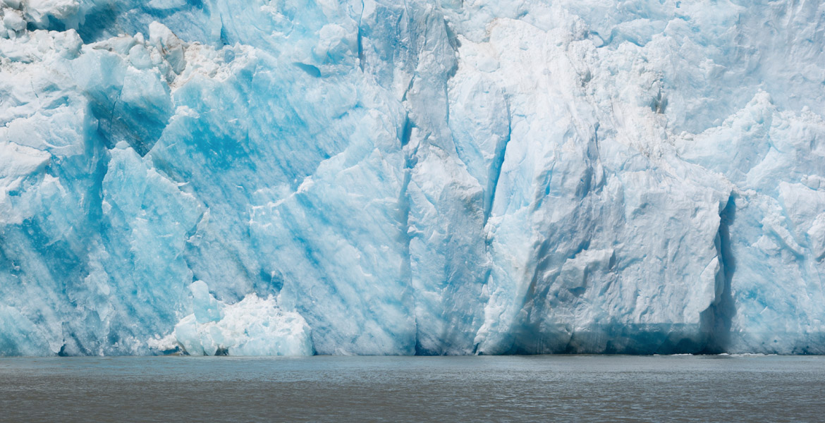
Example of thick ice walls, much like those that ruptured in Lake Missoula causing torrents of water to rush into Eastern Washington and Oregon’s Willamette Valley.

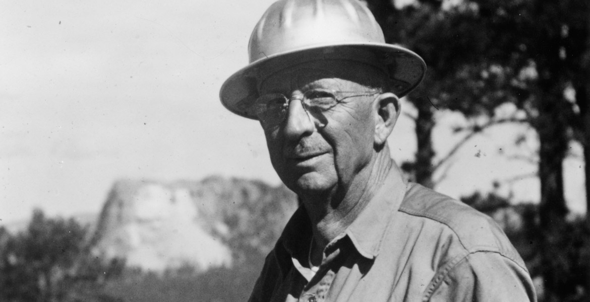
Geologist J. Harlen Bretz was the first to suggest that the channeled scablands were caused by a series of massive floods.
